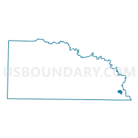
FELSENTHAL Voting District, Union County, Arkansas
About
Outline

Summary
| Unique Area Identifier | 528309 |
| Name | FELSENTHAL Voting District |
| County | Union County |
| State | Arkansas |
| Area (square miles) | 1.68 |
| Land Area (square miles) | 1.48 |
| Water Area (square miles) | 0.20 |
| % of Land Area | 88.15 |
| % of Water Area | 11.85 |
| Latitude of the Internal Point | 33.06082800 |
| Longtitude of the Internal Point | -92.14903060 |
Maps


Graphs
Select a template below for downloading or customizing gragh for FELSENTHAL Voting District, Union County, Arkansas